
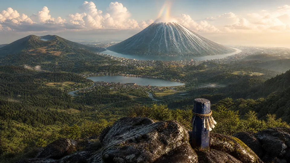
A town that lives with water: Tokomizu
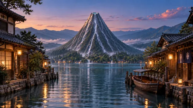
A town shaped by the clear water of Mount Mizufuji and by the canals that run through every part of it.
About TokomizuWelcome to Tokomizu
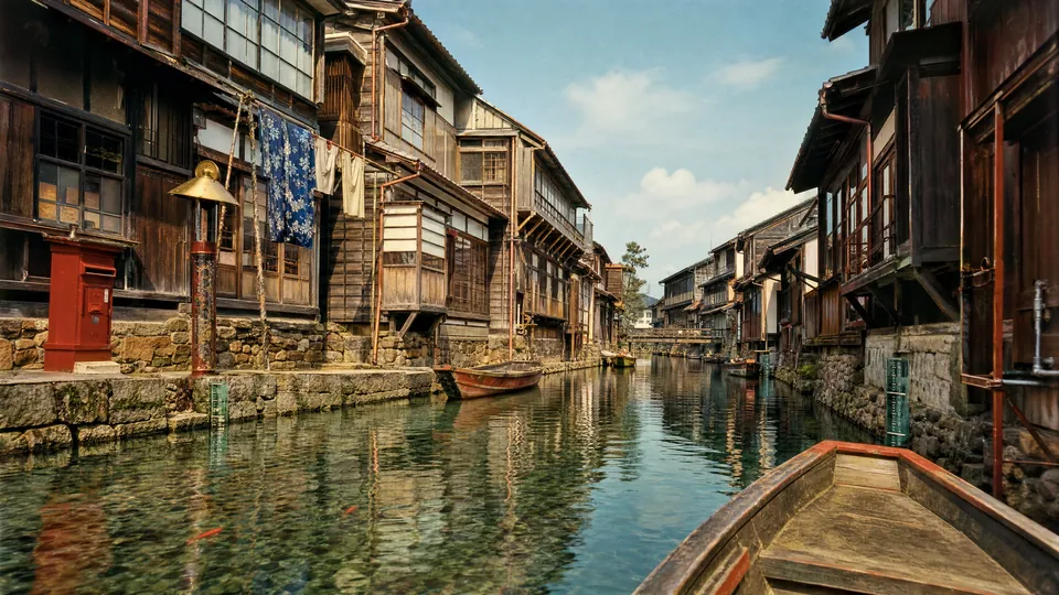
Tokomizu Town is a town of 808 canals. Fresh water wells up without end from the summit of Mount Mizufuji at the centre of the town and flows down through every district. There are no roads for cars. People walk along the canals and cross them by boat.
The land the town stands on, the Ukisu, rose into the sky at the end of 1926, ground and all. Since then it has drifted slowly over the Japanese archipelago with the seasons, going once around it every year. The town keeps its own calendar, Chōwa; this year is Chōwa 137.
| Area | about 1,615 km² (the land, about 185 km², is about three times the area inside Tokyo's Yamanote Line) |
|---|---|
| Population | about 150,000 |
| Canals | 808, about 280 km in total |
| Districts | 8 |
News from Tokomizu
- TourismNew page: Kokebune Island and the Kokebune Brewery on Tenkyōgen (first pressing in November)NEW
- TownThe guide to the town office building is now onlineNEW
- Tourism“The Nushi of the Underground Lake” added to the Nenomachi District pageNEW
- LivingThe muscle salmon run has begun (please help keep the canals flowing)NEW
- TownThe Tokomizu Town Song page is now openNEW
Get to Know Tokomizu
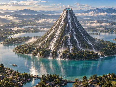
Town Profile
Location, area, population, canals and the town emblem.
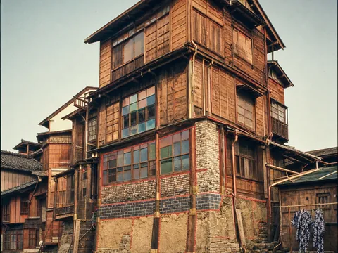
History
The Great Rising of 1926, the Chōwa calendar, and a town that keeps adding on.
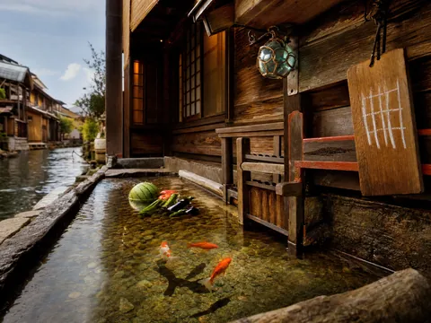
Canals and Daily Life
What the 808 canals are used for, from boat mail to cooling houses.
Tokomizu Town Song
The lyrics and a recording of the town song.
Where the Town Is Today
Map data: Natural Earth
The Eight Districts
Kamimachi District上町地区
A district on the shore of the Ring Lake at the foot of Mount Mizufuji. The town office, Mizutome Shrine and the eight Great Sluices are here.
Nakamachi District中町地区
The main town, surrounding the Ring Lake. More than half of the town's people live here, and it has the densest network of canals.
Tasuji District田筋地区
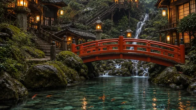
A district of fields and wooded hills, with eight towns and some forty villages.
Herimachi District縁町地区
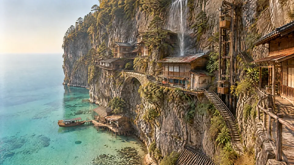
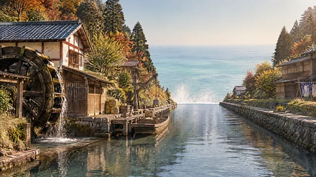
The district around the outer edge of Oyasu (the land of the town). The great canals become valleys running to the cliff and fall to Tenkyōgen as great waterfalls.
Dangai District断崖地区
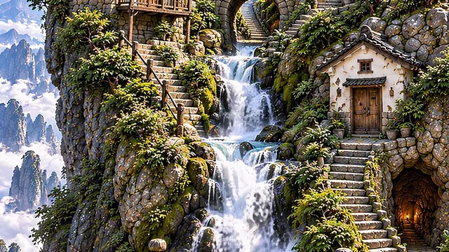
A district of houses, a school and shops built along the cliff face on the west side of Oyasu (the land of the town).
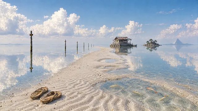
Tenkyōgen District天鏡原地区
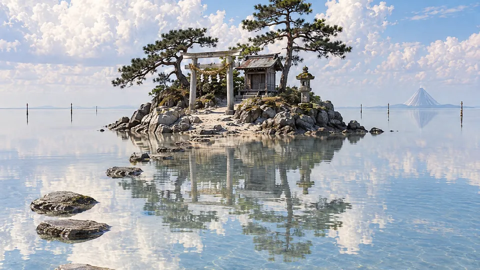
A body of shallow water 15 km wide around Oyasu (the land of the town). Nine tenths of the town's area is Tenkyōgen.
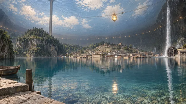
Miuchi District御内地区
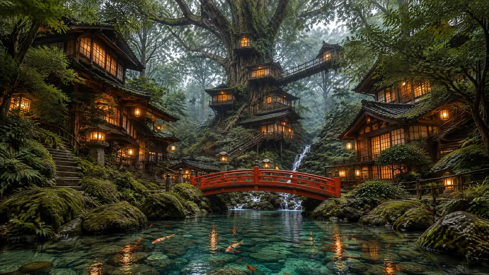
A district inside Mount Mizufuji. A lake and villages lie inside a great bell-shaped hollow.
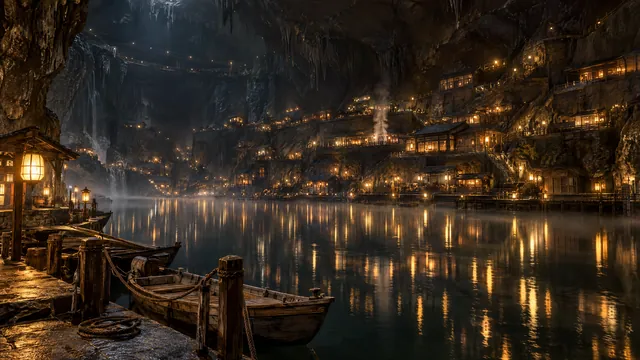
Nenomachi District根の町地区
A district inside the Inverted Fuji on the underside of the land. The town stands on the shores of underground lakes.
Seasons in Tokomizu
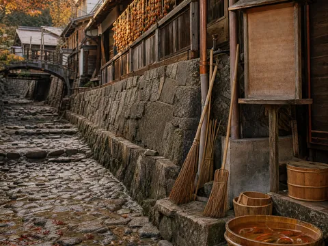
Every festival in Tokomizu has to do with water: the Draining in October, the Canal Festival, ice roads in winter and the Release of the goldfish in spring.
Seasonal highlightsTokomizu Town is fictional
Tokomizu Town is a fictional municipality from the worldbuilding project “808 Canals” (Happyakuya Suiro) by chan37jp. This website is a creative work styled as the town office's official site. Most photographs, maps and illustrations are made with generative AI.