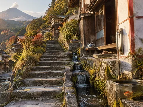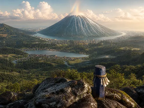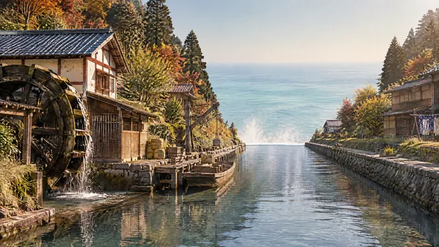
The district around the outer edge of Oyasu (the land of the town). The great canals become valleys running to the cliff and fall to Tenkyōgen as great waterfalls.
| Location | The outer edge of Oyasu (about 5.2–6.0 km from the centre) |
|---|---|
| Population | About 10,000 |
| Elevation | −45 m to −70 m (the outer side is a cliff about 100 m high) |
| Main facilities | Hokurei Lookout, the sluice control rooms, the eight great waterfalls |
Herimachi district runs around the outer edge of Oyasu (the land of the town). Each of the eight great canals becomes a valley running outwards, and at the edge of the cliff it falls to Tenkyōgen as a great waterfall.
At the bottom of the valleys are cargo canals and water-wheels; on the hills above is the Rim Forest. The outer side of the district is a cliff about 100 m high.
Hokurei Lookout
Near the northern edge stands Hokurei (350 m), a rocky peak. From the lookout you can see the whole town and Mount Mizufuji.
Dangai District
The settlement along the cliff face on the west side of Oyasu, part of Herimachi district, is introduced separately as Dangai district.
Scenes from the district